
Paths in Glen Tanar

- Walk, run, ride, bike or hike.

Waymarked Trails

You will find some suggested routes on the map.

Each of these routes is waymarked with its own symbol on the posts along the route.  All our waymarked walks start at the Braeloine Visitor Centre.

Juniper Path
A short route from the carpark to a view point overlooking the glen.  Grassy path with a few short steep climb.

Chapel Path
A gentle walk by the river and through meadows to the Chapel of St Lesmo.  Crushed stone and grass surfaces, mainly level with no steep slopes.

Fairy Lochan Path
Passing the chapel, this route takes you to the romantically named Fairy Lochan, a great place to stop and look for damsel and dragonflies in the summer.  Beyond the loch, the path runs through mixed woodland and back along the Water of Tanar to the Visitor Centre.  Crushed stone and grass surfaces, some short gentle slopes.

Riverbank Path
A short extension to the Fairy Lochan Path, this route leads you back to the visitor centre along the Water of Tanar after walking across a moraine dam left in the glen after the ice age. Crushed stone and grass surfaces, some short gentle slopes.

Knockie Viewpoint
For a taste of the glen's forest and glimpse of the moorland beyond try this route.  Heading out past the chapel and through pine woodland you will reach the view point where you can rest and enjoy the views before descending and returning to the visitor centre via the riverbank.  Crushed stope and grass surfaces, some short gentle slopes.

Old Pines Path
This path takes you to the heart of Glen Tanar's magnificent forest, and is never far from the sparkling Water of Tanar.  Crushed stone and grass surfaces, some short gentle slopes.

 
100_2199

Other Paths to Explore

There are various tracks and paths that can be explored as part of your visit Glen Tanar if you are looking for more than a short walk along one of the way marked routes.

Ancient Drove Roads cross the glen, previously used to move cattle form the north of Scotland to markets in the south, they are now regularly used by those looking to explore the wider countryside.

Mt Keen, Scotland's most easterly Munro, lies at the southern tip of the glen, and mark's the estate boundary.  From the summit you can enjoy views of Deeside and the Angus Glens.  This is a challenging walk, going on to high ground so please ensure you take appropriate clothing and equipment, and have an up to date weather forecast for the area.

The Aboyne and Dinnet link paths  allow you to access and enjoy the glen without bringing the car and provide the option of a looping walk that includes the Deeside Way.

Scottish Outdoor Access Code

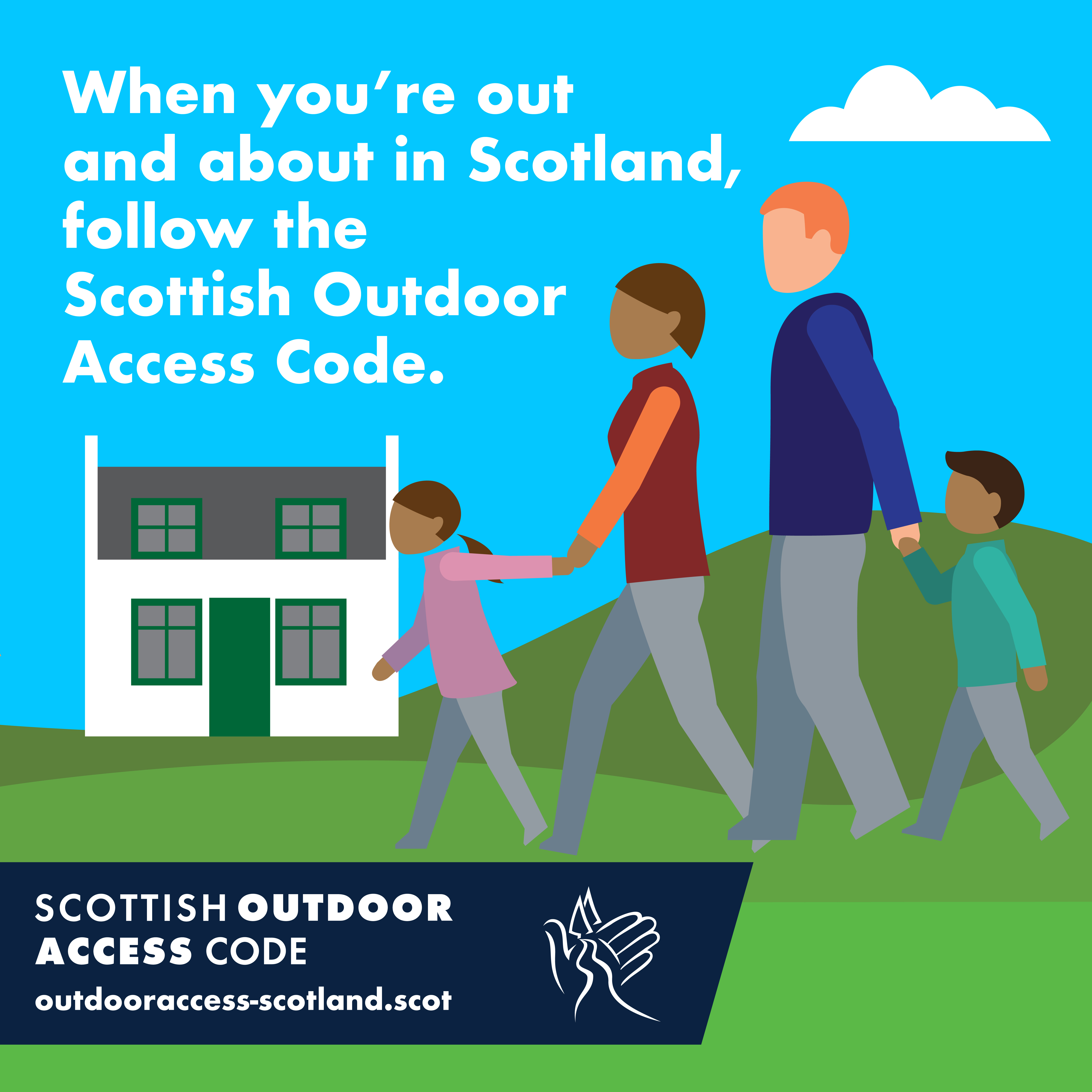
You are welcome to enjoy Glen Tanar whether you are cycling, walking, horse riding or enjoying other outdoor activities provided you follow the guidance within the Scottish Outdoor Access Code.

The code is based on on three principles;

Respect the interests of others

  • Please respect the privacy, safety and livelihoods of those living and working in Glen Tanar
  • Please respect the needs of other people enjoying Glen Tanar

Care of the Environment

  • Please look after Glen Tanar
  • Please leave the glen as you find it

Take Responsibility for Your Own Actions

  • The outdoors cannot be made risk free.
  • Please act with care for your own safety and that of others
SOAC square tiles 22 April 21-08